Magalloway Partners Take Flight To Protect Lands in Northwestern Maine
November 6, 2025
From LightHawk’s Conservation FLYer Featured Mission – October 2025
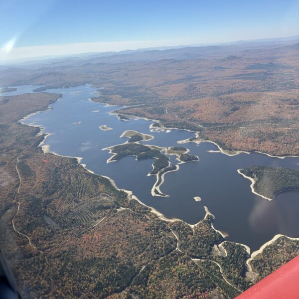
Flying above the forests of northwestern Maine in the fall provides a glorious view of the landscape, painted in the reds, yellows and oranges of Autumn. From the air, the aerial perspective captures not just the beauty and majesty of these lands, but why they matter – illustrating the importance of preserving them for future generations. In addition to their beauty, the Magalloway lands offer countless recreational opportunities while providing critical forested buffers around rivers, lakes and streams.
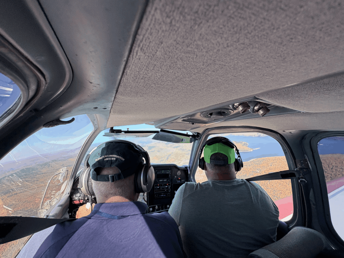
In October, The Nature Conservancy in Maine (TNC), Forest Society of Maine (FSM), Rangeley Lakes Heritage Trust (RLHT), and Northeast Wilderness Trust (NEWT), partnered with LightHawk, a national nonprofit with a network of more than 300 volunteer pilots, to fly project team members over the Magalloway region.
Volunteer pilot Scott Cianchette took passengers on a two-hour flight above northwestern Maine’s forests to capture stunning imagery that will educate and inspire potential donors about the importance of protecting these lands. From above, the group toured the entire project area, and experienced firsthand the vastness and connectivity of the landscape.

After the flight, The Nature Conservancy’s Abigail King shared her appreciation, “Thank you for this opportunity! It was very useful for me to be at this altitude in order to truly understand the landscape context and scale of our conservation project.”
Learn more and see more aerial photos of the Magalloway on LightHawk’s Featured Mission post.
More About LightHawk
Mission
LightHawk is dedicated to accelerating conservation success through the powerful perspective of flight. Learn more about conservation aviation and LightHawk’s work.